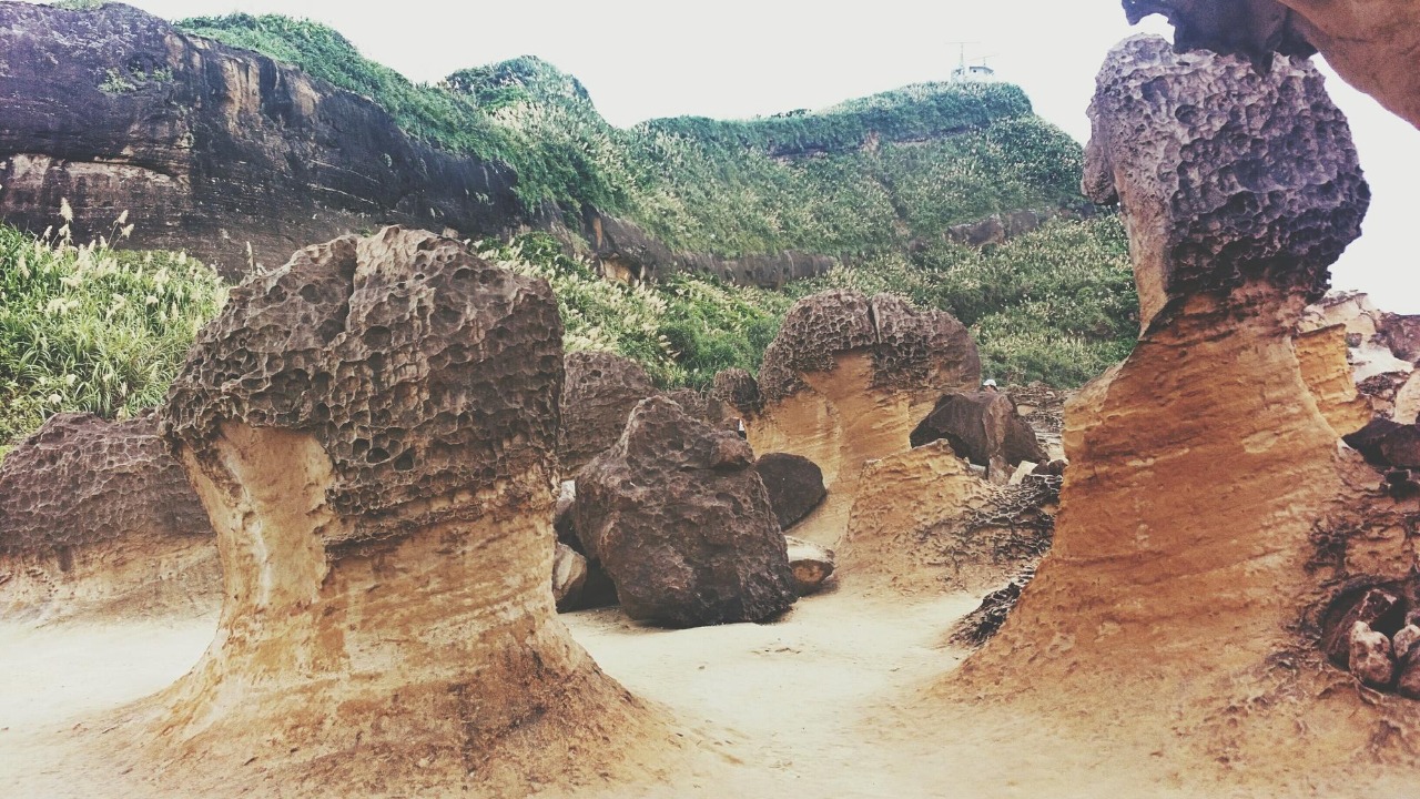
Madagascar, the world’s fourth-largest island, is a living testament to the power of geological forces. Its dramatic topography and unique biodiversity are the products of two ancient rifts that have shaped its landscape over millions of years. These rifts not only divided the island into distinct northern and southern regions but also played a crucial role in its evolutionary history, creating a biodiversity hotspot that continues to reveal secrets of prehistoric continental drift.
Origins of the First Ancient Rift
The initial rift that began to separate Madagascar from the African mainland around 160 million years ago was a result of the breakup of the Gondwana supercontinent. This tectonic event, linked to Jurassic-era movements, set the stage for Madagascar’s isolation and subsequent tilting. Geological markers, such as fault lines and volcanic remnants in the eastern regions, provide evidence of this rift’s role in elevating the island’s central highlands. The timing of this rift was crucial in setting the stage for Madagascar’s isolation and subsequent tilting, which played a significant role in shaping its unique biodiversity.source
The Second Rift’s Transformative Impact
Approximately 88 million years ago, during the Cretaceous period, a second rift event further fragmented the island and contributed to its north-south divide. This rift created key geological features such as the Ranotsara shear zone, a boundary that preserves distinct geological provinces. Seismic data indicates that this second rift amplified the island’s eastward tilt, affecting drainage patterns and coastal formations. The impact of this rift event is still evident in the island’s topography and biodiversity.source
Geological Evidence from Madagascar’s Terrain
Field studies of the island’s tilted plateaus and escarpments, particularly in the Ankaratra and Itremo massifs, provide direct evidence of rift-induced uplift. Sediment core samples reveal ancient rift basin formations that trapped unique minerals and influenced soil diversity. Erosion patterns along the western lowlands are linked to post-rift subsidence, illustrating the ongoing sculpting of the landscape. These geological features provide a window into the island’s ancient past and the tectonic forces that shaped it.source
Evolutionary Consequences for Flora and Fauna
The isolation effects of the rifts led to the radiation of endemic species, with over 90% of Madagascar’s wildlife unique to the island. Examples such as lemurs and baobabs adapted differently in the northern versus southern regions due to the rift divide. Genetic studies show divergence timelines aligning with the 88-million-year rift event, enhancing biodiversity hotspots. These findings underscore the profound influence of geological events on biological evolution.source
Human and Environmental Interactions with Rift Legacy
Archaeological evidence suggests that early human settlement patterns were influenced by rift-created barriers, such as deforested highlands versus preserved western forests. Modern conservation challenges, including how tilted terrains exacerbate erosion and climate vulnerability in rift-affected zones, are also tied to the island’s geological history. Ongoing research initiatives are mapping rift zones to inform sustainable development on the island, highlighting the importance of understanding the island’s geological past in shaping its future.source
Broader Implications for Global Tectonics
Madagascar’s rifts are part of larger Indian Ocean plate dynamics and have parallels with the East African Rift System. Modeling simulations that predict future seismic risks are based on these ancient structures, underscoring their relevance to understanding global tectonic processes. Interdisciplinary insights from geology and ecology highlight the role of rifts in understanding planetary evolution. The study of Madagascar’s rifts thus offers valuable lessons for understanding the Earth’s past and predicting its future.source
More from MorningOverview