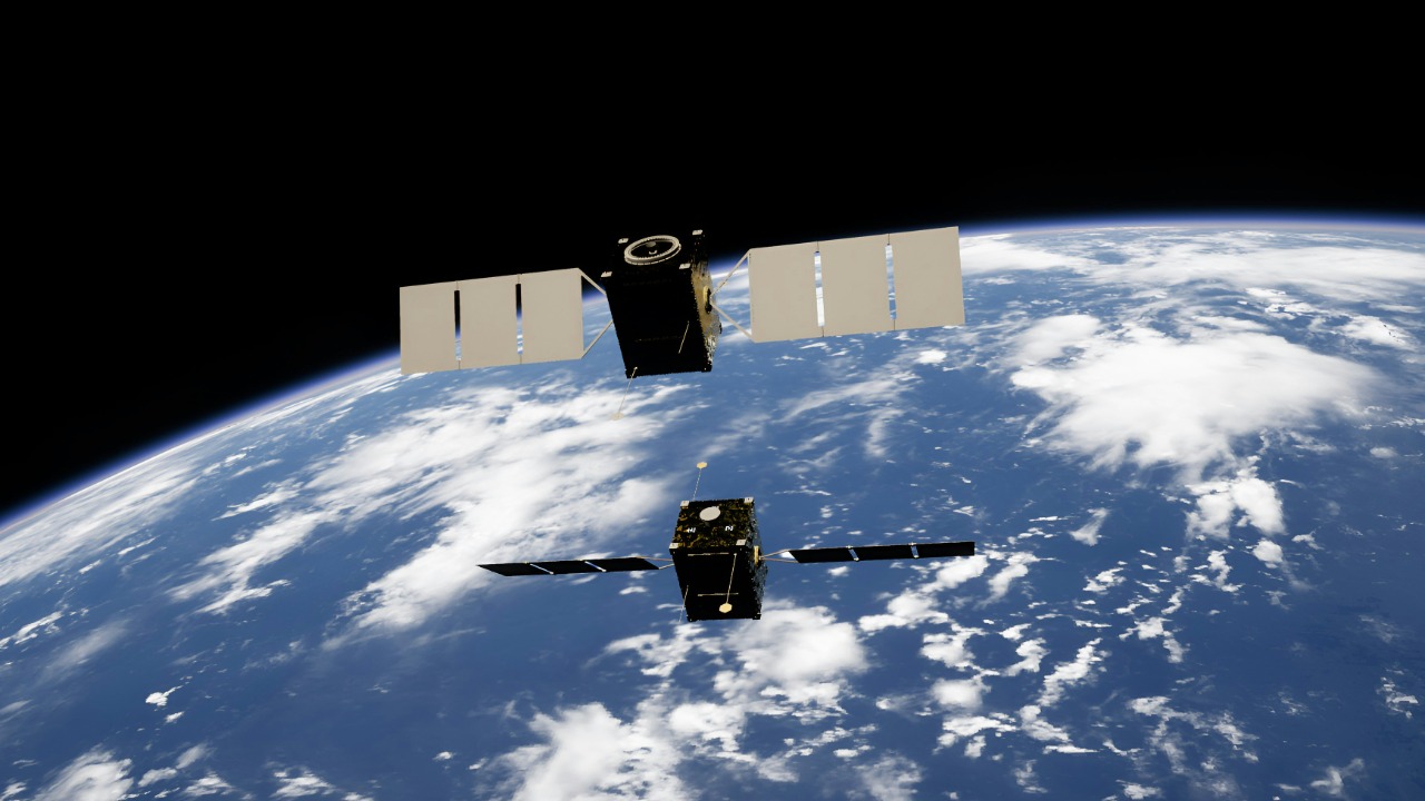
Fleet Space has turned a corner that many in the mining world have been eyeing for years, using artificial intelligence and satellites to pinpoint what it describes as a district-scale lithium trove in Canada. Instead of relying on slow, expensive drilling campaigns to guess where battery metals might be hiding, the company is using a swarm of sensors in orbit and on the ground to map subsurface geology at scale and at speed.
That shift matters far beyond a single discovery. Lithium is the backbone of electric vehicle batteries and grid storage, and the race to secure new supply has often collided with environmental and social concerns. By treating mineral exploration as a data problem rather than a brute-force exercise, Fleet Space is betting that smarter sensing and predictive models can unlock more resources with less impact.
AI in orbit meets lithium on the ground
The core of Fleet Space’s breakthrough is simple to describe but hard to execute: use a constellation of satellites and machine learning models to scan vast tracts of terrain, then narrow in on the most promising lithium targets before a drill rig ever rolls in. On Nov 24, 2025, the company said its AI-powered orbital system had identified a massive new lithium opportunity in Quebec, expanding the scope of what geologists thought possible in that region. The find is being framed as proof that satellite-guided exploration can move from theory to commercial reality, especially for the minerals powering the electric future.
What makes this moment different is the way the company is fusing multiple data streams into a single exploration workflow. Instead of treating satellite imagery, seismic readings and geological maps as separate tools, Fleet Space is feeding them into a unified AI stack that can flag subtle patterns linked to lithium-bearing rocks. Reporting on the Nov 24, 2025 announcement describes how this satellite AI system is designed to expand the search area while still zeroing in on specific, drill-ready targets, a combination that traditional methods struggle to match in both speed and scale, as detailed in coverage of the Quebec lithium find.
Inside the ‘district-scale’ Quebec discovery
The new targets sit within Quebec’s Cisco lithium project, a region that was already on the radar of explorers but is now being recast as potentially much larger in scope. Fleet Space has described the results as “district-scale,” a term that in mining shorthand means the geology could support multiple deposits rather than a single isolated ore body. Reporting on Nov 25, 2025 notes that the company’s satellite AI has uncovered new lithium targets that could significantly expand the scale of the Cisco project, suggesting that the original footprint may have only scratched the surface of what is underground.
What stands out here is the speed at which those insights emerged. Instead of taking years of incremental drilling and mapping to build a picture of the subsurface, Fleet Space’s system processed regional data and homed in on specific anomalies in a fraction of the time that exploration teams normally need to make decisions. The company’s approach in Quebec is being held up as a case study in how satellite tech can compress the exploration timeline, with the Cisco lithium project in Quebec now cited as an example of how new targets can be identified far faster than the industry is used to, according to analysis of the satellite tech behind the bigger lithium find.
How Fleet Space’s ExoSphere turns data into drill targets
Behind the scenes, Fleet Space’s ExoSphere platform is doing the heavy lifting. The system is built around predictive modelling for lithology and mineralisation, using AI that is trained on integrated datasets to support faster and more accurate exploration decisions. Instead of relying on a single type of measurement, ExoSphere ingests a mix of geophysical readings, geological information and other inputs, then uses those patterns to forecast where lithium and other minerals are most likely to occur.
The company describes what its AI delivers today in very specific terms: predictive modelling for lithology and mineralisation, trained on integrated datasets that are designed to support fast, data-driven targeting. That emphasis on “What,” “Predictive” and “Trained” is not just marketing language, it reflects a shift toward treating exploration as a continuous learning problem where every new survey and drill hole refines the model. The ExoSphere Mineral Exploration overview explains how these integrated dataset workflows are already being used to guide field programs, positioning the platform as a kind of digital twin for the subsurface in which predictive models are constantly updated by new inputs, as outlined in the company’s ExoSphere technology description.
Real-time exploration powered by satellites and sensors
Fleet Space’s lithium success in Quebec did not appear in a vacuum. Earlier, on Dec 11, 2024, the company closed an A$150M Series D round at an A$800M+ valuation, explicitly tying that funding to its vision of Real-Time Exploration Powered by Space and AI. The pitch to investors was clear: by integrating satellites in LEO with smart seismic sensors on the ground, the company could deliver near real-time feedback on subsurface conditions, helping explorers adjust their plans on the fly instead of waiting months for results.
That combination of LEO satellites and sensor networks is central to the company’s claim that it can reduce both the cost and environmental footprint of exploration. Rather than blanketing a region with drill pads and heavy equipment, Fleet Space argues that its Real-Time Exploration Powered by Space and AI approach lets teams focus only on the most promising zones, cutting down on unnecessary disturbance. The Series D announcement spells out how integrating Fleet Space’s satellites in LEO with smart seismic sensor arrays is intended to enable faster discoveries with less environmental impact, a thesis that underpins the company’s broader growth strategy as detailed in its Series D funding announcement.
From startup vision to commercial momentum
For a relatively young space startup, turning a technical vision into commercial traction is often the hardest part. Fleet Space has been steadily building that bridge, positioning itself as a specialist in satellite-enabled connectivity and sensing for industrial customers. Its public materials describe a company focused on using space-based infrastructure to solve problems on Earth, from mineral exploration to remote asset monitoring, with a clear emphasis on scalable, software-driven services rather than one-off hardware projects.
The lithium discovery in Quebec is now serving as a high-profile validation of that strategy. By showing that its AI and satellite stack can uncover a massive lithium deposit, the company has gained a powerful reference point for future deals with miners and energy companies. The broader corporate overview highlights how Fleet Space is using its constellation and ground technology to deliver services across sectors, reinforcing the idea that the Quebec find is not a one-off but part of a larger push to industrialize space-enabled sensing, as outlined on the company’s main Fleet Space site.
Why lithium hunters and EV makers are paying attention
The stakes around this discovery extend well beyond the exploration community. Lithium is a critical input for electric vehicles like the Tesla Model 3, Ford F-150 Lightning and Hyundai Ioniq 6, as well as for stationary storage systems that back up solar and wind power. As demand for those products grows, automakers and battery manufacturers are under pressure to secure long-term supplies of the metal, ideally from jurisdictions with strong environmental and governance standards. A district-scale opportunity in Quebec, identified with a lighter-touch exploration footprint, fits squarely into that strategic calculus.
Investors and technology companies are also watching how AI reshapes the economics of finding new deposits. If satellite-guided exploration can reliably shorten the time from first survey to drill decision, it could change how capital is allocated across early-stage projects, favoring those that can plug into platforms like ExoSphere. The fact that Nov coverage highlighted Fleet Space’s ability to find a massive lithium deposit using AI and satellites has already drawn attention from technology-focused observers, with the company’s success being amplified in posts noting that on Nov 24, 2025, Fleet Space finds massive lithium deposit using AI and satellites, as captured in a widely shared social media update.
The next frontier for AI-driven mineral exploration
What happens in Quebec will help determine whether AI-driven exploration becomes a niche tool or a new industry standard. If follow-up drilling confirms that the district-scale targets identified by Fleet Space’s models translate into economically viable lithium resources, it will strengthen the case for deploying similar satellite and sensor networks across other prospective regions. That could include hard-rock lithium belts in places like Western Australia or emerging brine projects in South America, where the ability to quickly screen large areas for subsurface anomalies would be particularly valuable.
At the same time, the approach raises important questions that the industry will need to answer. AI models are only as good as the data and assumptions that shape them, and explorers will have to guard against overconfidence in algorithmic predictions that have not yet been ground-truthed. Regulators and communities will also want to understand how these tools affect decisions about where and how to explore. For now, Fleet Space’s work in Quebec stands as a compelling demonstration of what is possible when satellites, sensors and predictive modelling are combined, but the real test will come as more projects adopt similar methods and the results are measured not just in discoveries, but in how responsibly those discoveries are made.
More from MorningOverview