The latest Falcon 9 launch did more than light up the California coast; it quietly reset the bar for how precisely we can track a warming planet’s rising seas. With the Sentinel-6B satellite now on its way to orbit, I see a new phase beginning in global climate monitoring—one where millimeter-level changes in ocean height are no longer abstract science, but actionable data for coastal cities, weather agencies, and policymakers.
Instead of a one-off spectacle, this mission feels like the culmination of decades of ocean altimetry work converging with a mature commercial launch system, giving climate science a reliable, repeatable way to watch the oceans respond to greenhouse gas emissions. The roar of Falcon 9’s engines was just the opening note for a mission designed to keep sounding the alarm on sea-level rise for years to come.
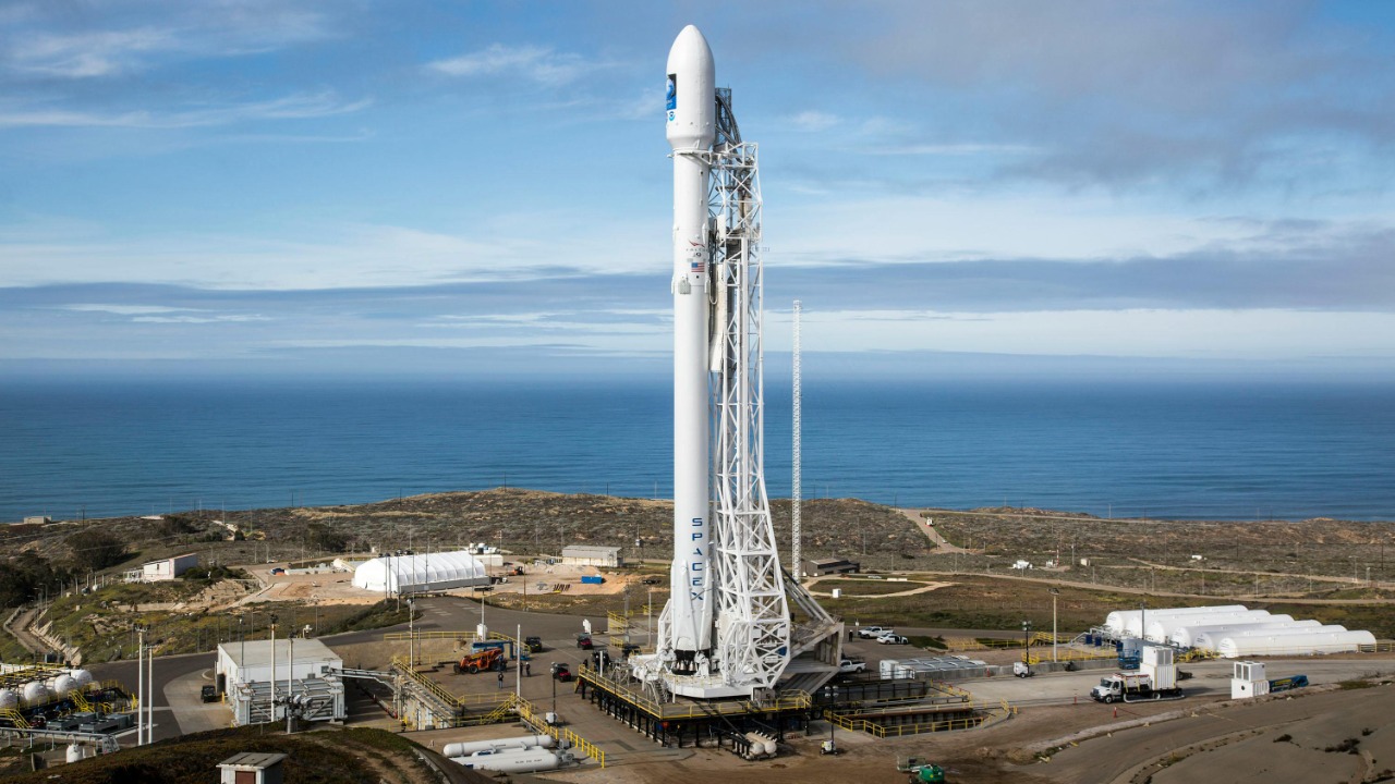
Falcon 9’s latest climate mission from the California coast
From the moment the countdown hit zero, I could tell this was a different kind of launch—less about exploration for its own sake and more about taking the planet’s vital signs with unprecedented clarity. Falcon 9 lifted off from the West Coast carrying Sentinel-6B into a polar orbit tailored for global ocean coverage, extending a long-running series of satellites that have been measuring sea level for more than three decades. The mission profile, from ascent to stage separation and fairing deployment, followed the now-familiar cadence of SpaceX’s workhorse rocket, but the payload’s purpose gives this flight outsized importance for climate science.
Mission details released ahead of liftoff describe how the rocket’s first stage powered the stack through the thickest part of the atmosphere before handing off to the upper stage to inject Sentinel-6B into its precise orbit, with the trajectory and timing optimized for the satellite’s radar altimeter to sweep the oceans in repeatable ground tracks. The official launch overview highlights the vehicle configuration, payload mass class, and target orbit for Sentinel‑6B, while independent launch coverage tracks the countdown milestones, engine ignition, and stage events as the Falcon 9 carried the international sea-level sentinel into space.
Sentinel-6B: a new benchmark for sea-level precision
What makes Sentinel-6B stand out to me is not just that it continues a legacy, but that it tightens the screws on how precisely we can measure the oceans’ slow but relentless climb. The satellite is designed to pick up where its twin, Sentinel-6 Michael Freilich, leaves off, flying in the same orbit to ensure a seamless handover of data. By comparing overlapping measurements from both spacecraft, scientists can cross-calibrate instruments and lock in a continuous record of sea-level change that stretches back through missions like Jason-3 and earlier altimeters, turning a series of satellites into a single, coherent climate data set.
Reporting on the mission emphasizes that Sentinel-6B carries a high-precision radar altimeter and supporting instruments tuned to detect changes in global mean sea level on the order of centimeters, and to do so consistently over many years. The spacecraft’s role is described as part of an international effort to monitor how oceans respond to warming, with its orbit and instrument suite optimized to track both long-term sea-level trends and shorter-term phenomena like ocean eddies and large-scale currents. Coverage of the launch underscores that this new satellite is expected to refine the global sea-level record established by earlier missions, giving researchers a sharper tool to study climate-driven changes in the world’s oceans and the coastal impacts that follow.
Why millimeter-level sea measurements matter on the ground
From my perspective, the real power of Sentinel-6B lies in how its data will filter down into everyday decisions far from the launch pad. Millimeter-scale changes in sea level might sound academic, but when those measurements are stitched together over years, they reveal acceleration in ocean rise that can reshape flood maps, building codes, and insurance models for cities from Miami to Mumbai. Emergency managers and urban planners increasingly rely on these long-term trends to decide where to reinforce seawalls, how to design stormwater systems, and which neighborhoods face the highest risk from storm surges riding on top of higher baseline seas.
Coverage of the mission explains that the satellite’s measurements will feed into global climate models and operational ocean forecasting systems, improving predictions of coastal flooding and extreme weather. The reporting notes that Sentinel-6B’s data will be used by agencies tracking global sea-level rise and by scientists studying how warming oceans expand and redistribute heat, with the satellite’s radar altimeter providing the precise height readings that underpin those analyses. By extending the record of sea-level change, the mission gives researchers a way to quantify how much faster the oceans are rising and to translate those trends into practical guidance for communities facing more frequent high-tide flooding and stronger coastal storms.
A global partnership riding on a reusable rocket
What struck me as I followed the launch is how seamlessly international collaboration and commercial hardware now fit together in climate missions. Sentinel-6B is part of a program that brings together multiple space agencies and partners, pooling expertise in satellite design, oceanography, and data processing, while relying on a privately built rocket that has flown similar missions many times before. That combination of shared scientific goals and proven launch infrastructure reduces risk for a mission that needs to deliver not just a successful liftoff, but years of stable, high-quality measurements.
Pre-launch coverage from the California coast highlighted how local communities around Vandenberg Space Force Base were preparing for the Falcon 9 flight, noting the involvement of NASA and international partners in the Sentinel‑6B satellite project and the role of the base as a hub for polar-orbiting climate missions. Additional reporting on the mission’s objectives describes how the satellite fits into a broader global effort to monitor sea level, with the Falcon 9 providing the lift capability needed to place the spacecraft into its precise orbit. Together, these accounts show a mission that depends on both cross-border scientific cooperation and the reliability of a reusable launch system that has become a staple of modern spaceflight.
Inside the launch: countdown, ascent, and booster return
Watching the mission unfold, I was reminded how much choreography goes into what, from a distance, looks like a simple vertical climb. The countdown sequence walked through propellant loading, engine chill, and final checks before the nine Merlin engines ignited and the rocket cleared the tower. Within minutes, the first stage shut down and separated, the second stage took over, and the payload fairing opened to expose Sentinel-6B to space, all while the booster arced back toward Earth for recovery.
Live mission updates documented each of these steps in real time, from the final “go” polls through main engine cutoff and stage separation as the Falcon 9 carried the international sea‑level satellite into orbit. Post-launch analysis further details how the second stage executed its burn to place Sentinel-6B into the proper trajectory, while the first stage followed a planned return profile to a landing zone or droneship, continuing the pattern of booster reuse that has become central to SpaceX’s operations. Together, these accounts paint a picture of a mission that not only delivered a critical climate payload, but also demonstrated the repeatable launch-and-recovery cycle that helps keep such missions economically viable.
What the cameras and telemetry revealed in real time
For me, one of the most compelling aspects of modern launches is how much of the mission the public can witness firsthand. High-definition cameras on the rocket and around the pad captured the ignition plume, stage separation, and views of Earth as the second stage pushed Sentinel-6B toward orbit, while on-screen telemetry showed altitude, speed, and engine performance in real time. That transparency turns what used to be a black-box process into a shared experience, letting anyone with an internet connection follow along as a climate-monitoring satellite begins its journey.
The official webcast of the mission provided sweeping views of the ascent and booster return, with commentators walking through the role of Sentinel‑6B in tracking global sea-level rise and explaining key milestones like fairing separation and second-stage cutoff. Additional video coverage from independent spaceflight analysts offered alternative camera angles and technical breakdowns of the Falcon 9 launch, highlighting the performance of the rocket and the significance of the mission for climate science. Together, these streams turned the launch into a real-time classroom on both rocketry and oceanography, underscoring how public engagement has become a core part of high-profile space missions.
From launch pad to long-term climate record
As the excitement of liftoff fades, I find the more consequential story is just beginning: Sentinel-6B’s slow, methodical work of turning radar pulses into a refined climate record. Once in orbit, the satellite must undergo a careful commissioning phase, with engineers checking out instruments, calibrating the radar altimeter, and aligning its measurements with those of its predecessor. Only after that process will the data start flowing into the global archives that climate scientists use to track trends and refine projections of future sea-level rise.
Technical briefings on the mission explain that the satellite will join a lineage of ocean altimetry platforms whose combined records allow researchers to detect acceleration in sea-level rise and to separate contributions from thermal expansion, melting ice sheets, and regional ocean dynamics. Detailed mission analyses describe how Sentinel‑6B will monitor global sea level by repeatedly measuring the height of the ocean surface along its ground track, while launch-focused reports note that the Falcon 9’s precise insertion into orbit is critical for maintaining the satellite’s measurement geometry. Additional coverage of the deployment phase outlines how the Falcon 9 team worked to position the spacecraft for its operational orbit and data-taking, with one report emphasizing the steps taken to deploy Sentinel‑6B into the correct trajectory for long-term sea-level monitoring.
How this launch fits into SpaceX’s broader climate portfolio
Looking at the bigger picture, I see the Sentinel-6B mission as part of a quiet but important trend: commercial rockets increasingly serving as the backbone for climate-focused satellites. Falcon 9 has already launched a range of Earth-observing payloads, and this latest flight reinforces the idea that reliable, relatively low-cost access to orbit is now a prerequisite for serious climate monitoring. As more agencies and research groups plan missions to track greenhouse gases, ice loss, and ocean health, the ability to slot those payloads onto a proven launch vehicle becomes a strategic advantage.
Mission updates and technical write-ups highlight how the Sentinel-6B launch fits into Falcon 9’s broader manifest, with the rocket’s reusability helping to support a steady cadence of scientific flights alongside commercial and crewed missions. A detailed mission profile notes the specific configuration and flight sequence used for Sentinel‑6B on Falcon 9, while official mission pages describe the satellite’s role in a long-term program to track sea-level rise. Social media updates from the launch provider celebrated the successful liftoff and deployment of the sea‑level monitoring satellite, underscoring how climate missions now sit alongside high-profile commercial flights in the company’s public narrative. Taken together, these threads show a launch industry that is increasingly intertwined with the global effort to understand and respond to climate change.
More from MorningOverview