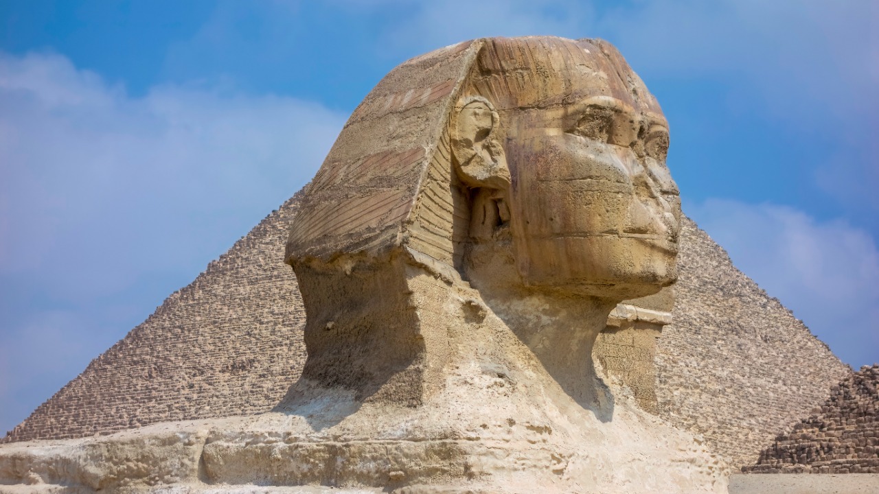
A groundbreaking discovery has unveiled an ingenious method used by ancient Egyptians to construct the Giza pyramids. This revelation, made possible through advanced satellite imagery, suggests that a now-lost branch of the River Nile was instrumental in transporting massive stone blocks to the construction site. This innovative use of environmental adaptations, rather than solely human labor, has fundamentally reshaped our understanding of the engineering prowess of the ancient Egyptians.
The Role of Satellite Technology in Uncovering Hidden Hydrology
Advanced satellite data from space missions have played a crucial role in this discovery. The subtle topographic features identified by these satellites indicated the presence of a buried river branch near the Giza plateau. The integration of infrared and radar imaging has been instrumental in mapping these ancient watercourses, which are no longer visible on the surface. The precision of these tools in detecting changes in sediment and elevation has been remarkable.
Collaborations between space agencies and archaeologists have accelerated the analysis of these findings. This synergy of modern science and ancient history has been pivotal in uncovering the hidden hydrology of the Giza plateau, providing a fresh perspective on the construction of the pyramids.
Evidence of the Lost Nile Branch Near Giza
The specific location of the Ahramat Branch, a 64-kilometer-long waterway that once flowed alongside the pyramid sites, has been identified through this discovery. Geological markers such as sediment layers and fossilized pollen confirm the branch’s existence during the pyramid-building era around 4,500 years ago. The seasonal flooding patterns of the Nile would have made this branch navigable, providing a natural transport route for quarried stones.
The Hydraulic Lifting Mechanism in Pyramid Construction
The ingenious method of construction involved the use of water from the Nile branch to fill reservoirs, creating a hydraulic lift system for raising stone blocks up ramps. Engineering simulations have shown how controlled flooding could elevate platforms by up to 10 meters, reducing the need for massive earthen ramps. Experimental recreations have validated the feasibility of water-assisted counterweight systems in moving multi-ton obelisks and casing stones, central to the findings.
Implications for Ancient Egyptian Engineering Expertise
This water-based approach demonstrates the advanced knowledge of hydraulics and environmental engineering possessed by the Old Kingdom builders. It also signifies a shift from theories of slave labor to organized, resource-efficient techniques that leveraged the Nile’s natural cycles. Egyptologists believe that this discovery reframes the societal organization required for such projects, highlighting the sophistication of ancient Egyptian engineering.
Environmental Changes and the Nile’s Evolution
Desertification and silting over millennia have buried the Ahramat Branch, explaining its disappearance post-2500 BCE. Paleoclimate data indicate wetter conditions during the pyramid construction era, which supported extensive river networks. Modern conservation efforts are studying these ancient waterways for insights into climate resilience, providing valuable lessons for our understanding of environmental changes and the Nile’s evolution.
Future Research Directions Enabled by Space Data
Building on the Giza discovery, expanded satellite surveys could map other potential water routes at sites like Saqqara and Dahshur. Interdisciplinary studies combining AI analysis of satellite imagery with ground-penetrating radar could enable deeper excavations. This approach could also be applied to other ancient civilizations, such as Mesopotamian ziggurats, where similar hydraulic aids might be uncovered, opening up exciting new avenues for research.