The world’s rainforests are disappearing at an alarming rate, a trend that has sparked the need for innovative monitoring and conservation techniques. Unmanned aerial vehicles, better known as drones, are at the forefront of these efforts, offering real-time, accurate assessments of rainforest loss.
The Rising Crisis of Rainforest Loss
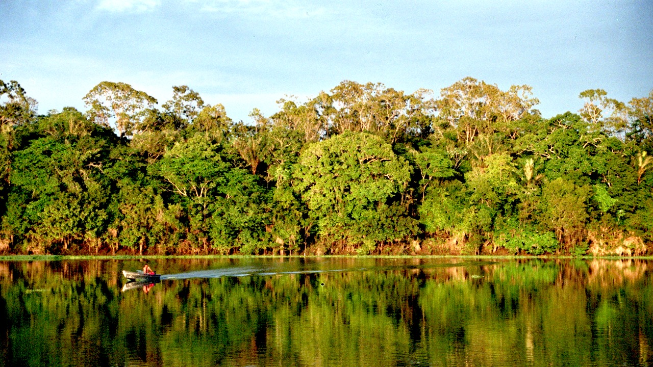
Deforestation is a global concern, but it’s especially acute in the Amazon rainforest, often referred to as the planet’s lungs. According to a recent study, the Amazon has lost an area bigger than the size of Spain in the last half-century. This rapid deforestation results in significant environmental and socio-economic implications.
The environmental effects are vast, ranging from loss of biodiversity to climate change. Rainforests are home to millions of plant and animal species, many of which are endangered due to habitat loss. Furthermore, these forests act as a carbon sink, absorbing CO2 that would otherwise contribute to global warming. Socio-economically, deforestation affects the livelihoods of millions of people who rely on the rainforest for sustenance and income. Monitoring and combating deforestation is a daunting task due to the scale and inaccessibility of these regions.
The Emergence of Drone Technology in Conservation
Drones, initially developed for military applications, have found a new purpose in environmental conservation. These unmanned aerial devices can reach remote and inaccessible areas, providing crucial data on the state of our ecosystems. They have been adapted to monitor wildlife, track poaching activities, and assess the impact of natural disasters.
There are several case studies that demonstrate the effectiveness of drones for conservation. For example, a project in the Amazon used drones to collect data on the rainforest’s health and the impact of human activities. This project showcased the potential of drone technology in understanding and addressing environmental issues.
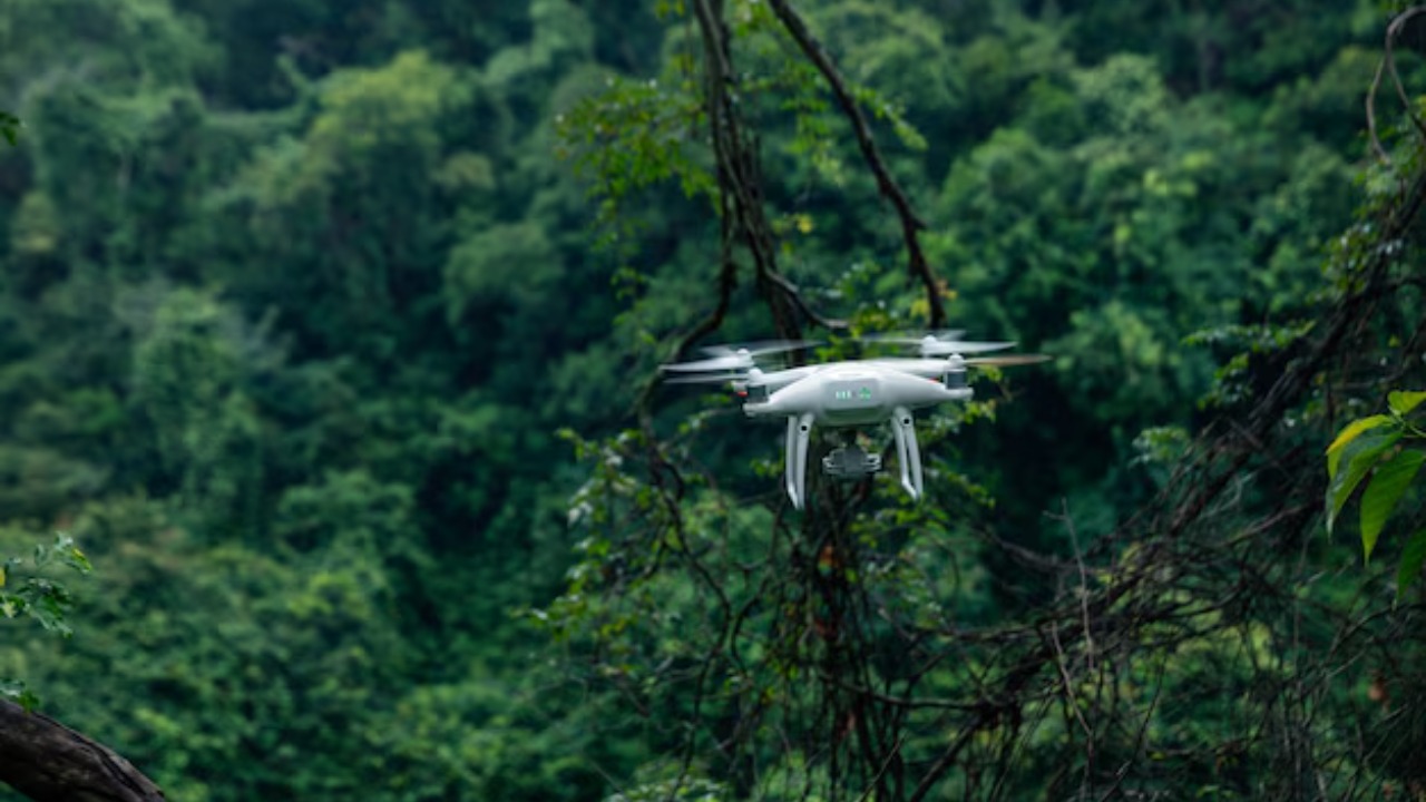
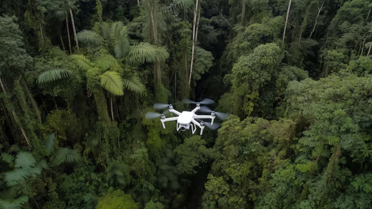
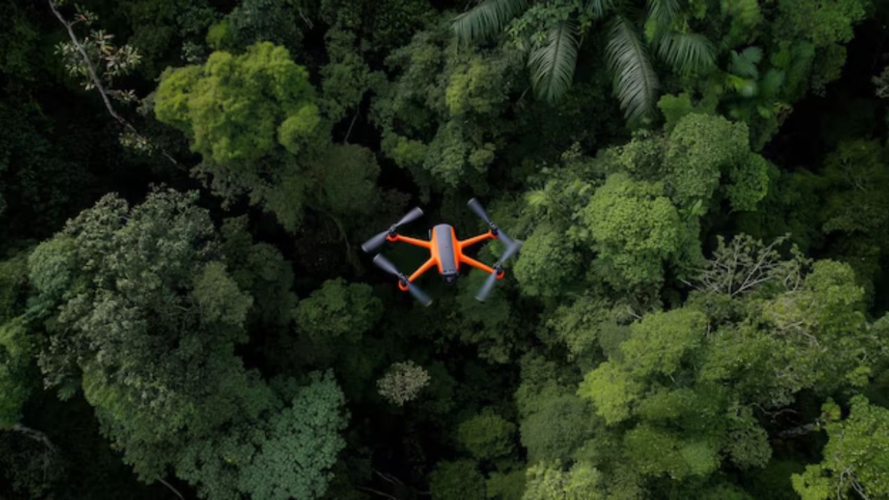
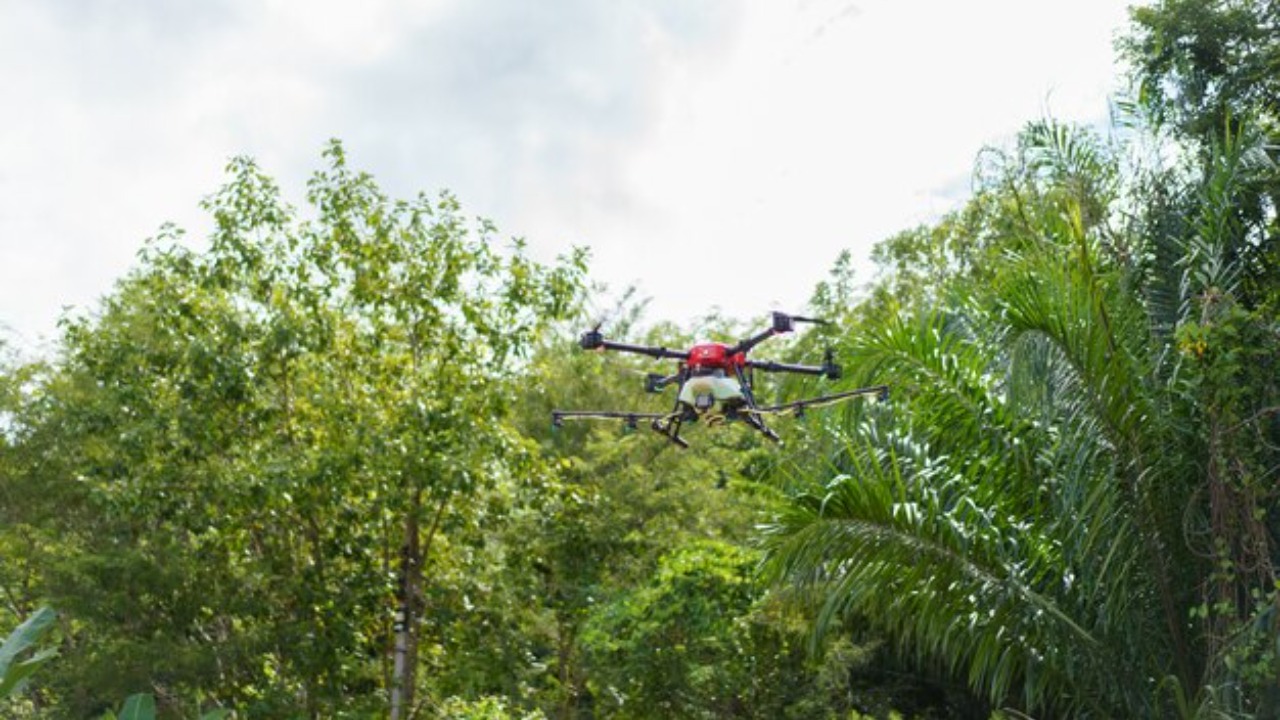
How Drones are Used to Monitor Rainforest Loss
Various types of drones, from fixed-wing drones to multi-rotor drones, are used for rainforest monitoring. Equipped with advanced sensors and imaging technology, these drones can capture high-resolution images and data, providing a detailed view of the forest canopy and enabling the assessment of forest loss. Some drones are also equipped with thermal cameras to identify illegal logging activities that often occur under the cover of darkness.
A notable example of successful drone monitoring is the project in the Amazon rainforest. Through accurate data collection and analysis, drones have provided an unprecedented view of the deforestation problem, enabling researchers and conservationists to respond more effectively. Drone data has also empowered local communities to participate in conservation efforts, leading to more sustainable practices.
The Impact and Effectiveness of Drone Monitoring
Drone data has played a significant role in shaping decisions and policies on rainforest conservation. It provides a clear and unbiased view of the extent of deforestation, helping policymakers understand the urgency of the situation. Furthermore, drones offer a more cost-effective and timely method of monitoring compared to traditional methods, such as satellite imaging or ground surveys.
However, there are limitations and challenges in the use of drones for rainforest monitoring. These include regulatory restrictions, the high cost of advanced drones, and the need for technical expertise in operating these devices and interpreting the data. Despite these challenges, the impact of drone technology in conservation cannot be overstated.
Future Prospects for Drone Technology in Rainforest Conservation
Advancements in drone technology promise to improve rainforest monitoring further. Innovations such as longer flight times, better imaging technology, and AI-powered data analysis could make drones even more effective in assessing forest loss. There is also potential for collaboration to further these efforts. For instance, there are reported talks between Elon Musk and Brazil to develop a satellite network to monitor the Amazon rainforest.
Moreover, drones could empower local communities to play an active role in conservation. By providing locals with access to drone technology and training them to use it, we can foster a sense of ownership and responsibility towards the preservation of these vital ecosystems. This approach has the potential to create a sustainable model for rainforest conservation that combines modern technology and traditional knowledge. The future of drone technology in rainforest conservation looks promising, and it will certainly play a critical role in our ongoing battle against deforestation.