In recent years, machine learning has revolutionized the study of glacier erosion rates, providing valuable insights into environmental planning. As glaciers continue to retreat due to climate change, understanding erosion rates is crucial for predicting future landscape changes and their impacts on ecosystems and human activities. Innovative applications of machine learning in mapping glacier erosion rates offer significant implications for environmental planning.
Understanding Glacier Erosion
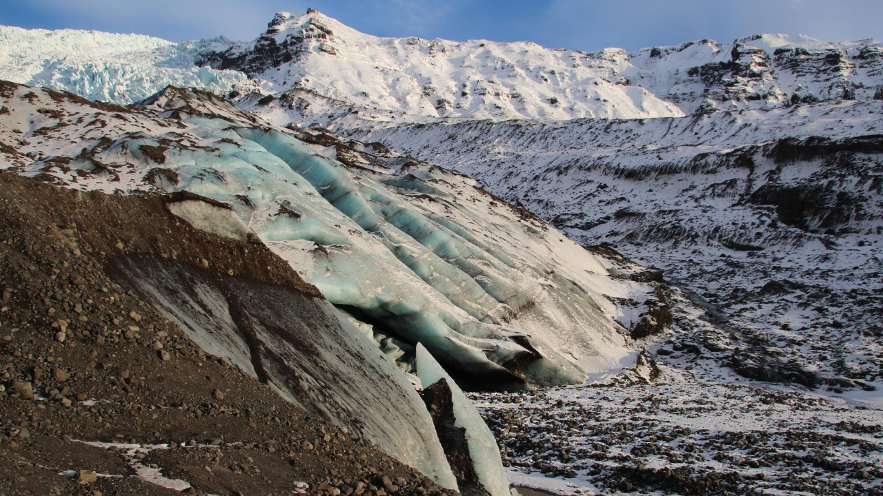
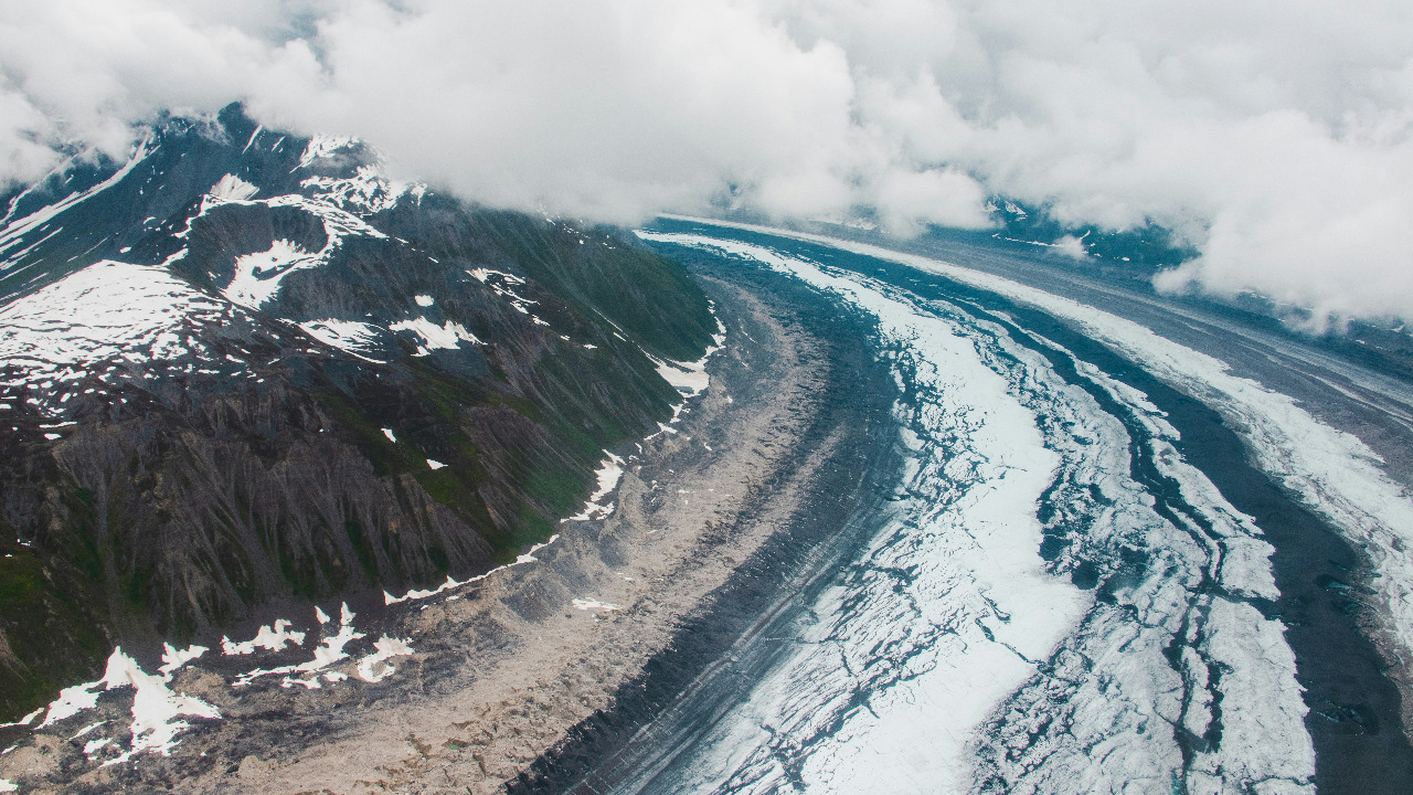
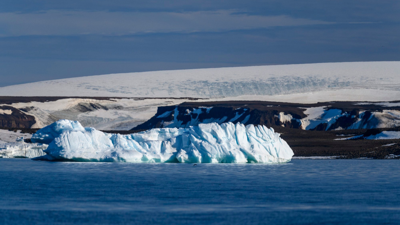
Glacier erosion is a fundamental process that shapes landscapes by grinding down rock surfaces through abrasion and plucking. As glaciers move, they carry rocks and debris that scrape against the earth beneath them, effectively reshaping the terrain. This gradual yet powerful process has sculpted valleys, fjords, and many of the breathtaking geographical features we see today. The erosion caused by glaciers plays a vital role in the natural world, influencing water systems and geological formations.
Several factors influence glacier erosion rates, including climate, ice composition, and the underlying geology. Warmer temperatures can increase the rate of ice melt, affecting how glaciers move and erode the land. The composition of the ice, including its purity and the presence of debris, can also impact erosion rates. Additionally, the type of rock beneath the glacier plays a crucial role; softer rocks erode more quickly than harder ones. Understanding these factors helps scientists predict how landscapes might evolve as glaciers retreat.
The study of glacier erosion is significant for understanding both past and future environmental changes. By examining erosion patterns, researchers can infer historical climate conditions and predict future changes in the landscape as global temperatures rise. This knowledge is essential for anticipating how ecosystems and human activities may be affected, making it a cornerstone of effective environmental planning.
Machine Learning in Glacier Studies
Machine learning techniques, such as supervised and unsupervised learning, have become indispensable tools in analyzing complex datasets related to glacier erosion. Supervised learning involves training algorithms on labeled data to make predictions or classifications, while unsupervised learning identifies patterns in data without prior labeling. These techniques enhance our ability to interpret vast amounts of data collected from glaciers, leading to more accurate predictions of erosion rates.
The role of machine learning in glacier research is profound, particularly in enhancing the accuracy of predicting erosion rates and patterns. For instance, machine learning algorithms can process and analyze satellite images to identify subtle changes in glacier surfaces over time. This capability allows researchers to build more precise models of glacier movement and erosion, which are crucial for forecasting future landscape changes.
Several case studies highlight the success of machine learning in glacier research. In one study, researchers utilized machine learning to analyze historical data and predict future erosion patterns in the Swiss Alps. This approach provided insights into potential risks for communities living near glacier-fed rivers, demonstrating the real-world applications of these technologies in environmental planning.
Mapping Techniques and Technologies
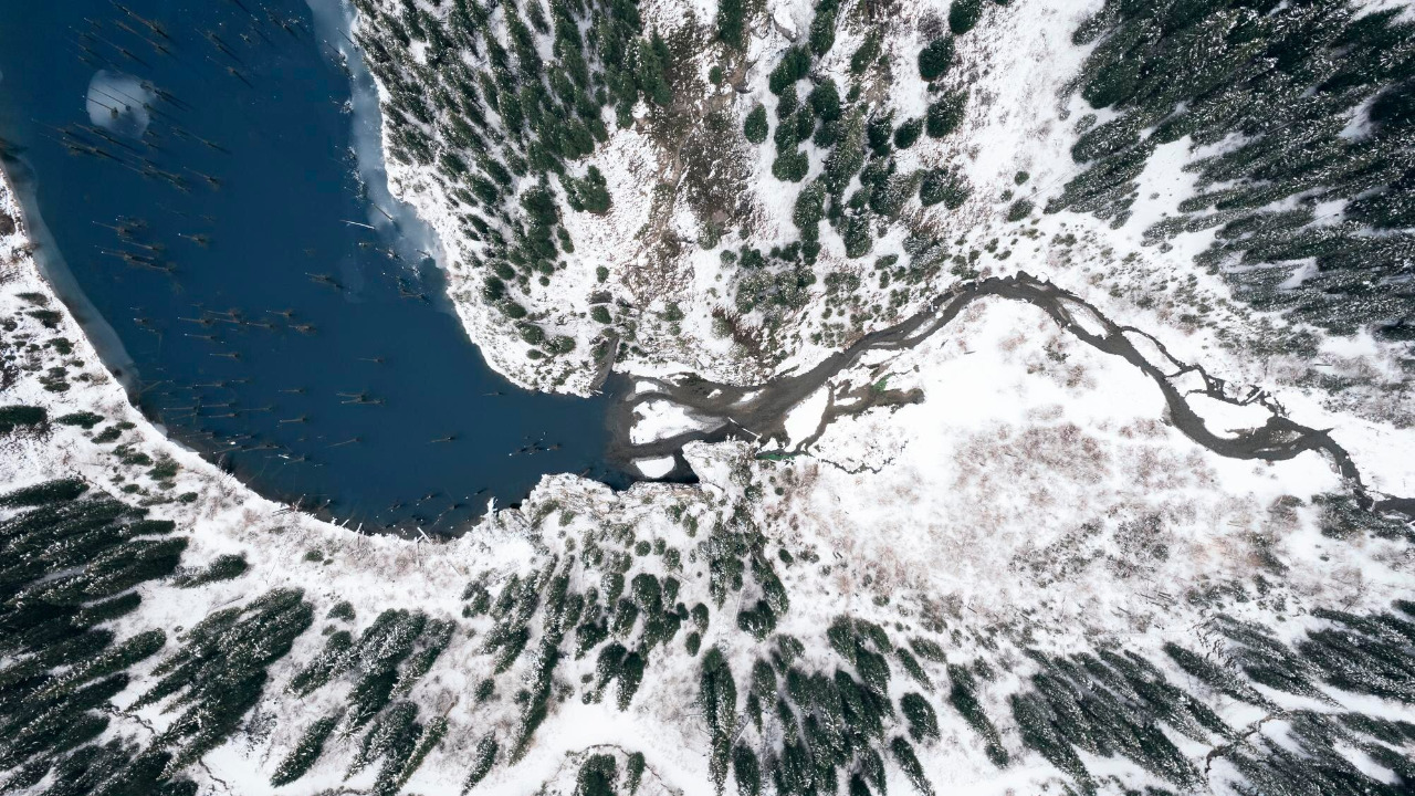
Remote sensing and satellite data are pivotal in the study of glacier erosion, providing high-resolution imagery that facilitates detailed analysis. Satellites equipped with advanced sensors capture images of glaciers, allowing researchers to observe changes in glacier size, shape, and movement over time. These images are then processed using machine learning algorithms to extract valuable information about erosion rates.
The integration of machine learning with Geographic Information Systems (GIS) is another significant advancement in mapping glacier erosion rates. By combining machine learning algorithms with GIS, scientists can create comprehensive models that offer spatial analysis of erosion patterns. These models are invaluable for visualizing how landscapes will change as glaciers continue to retreat, aiding in the development of effective environmental management strategies.
Despite the advantages, several challenges and limitations exist, such as data quality, computational demands, and the need for interdisciplinary approaches. High-quality data is essential for accurate machine learning models, but collecting such data from remote glacier locations can be challenging. Additionally, the computational power required to process large datasets is significant, necessitating collaboration across various scientific disciplines to overcome these hurdles.
Implications for Environmental Planning
Accurate erosion maps, informed by machine learning, are critical for predicting landscape changes and informing infrastructure development and hazard mitigation. As glaciers retreat, they can trigger landslides and floods, posing risks to nearby communities. By understanding how landscapes will evolve, planners can design infrastructure to withstand these changes and develop strategies to mitigate potential hazards.
Glacier erosion also impacts ecosystems, influencing biodiversity and habitat changes. As glaciers erode the land, they deposit nutrients and sediments into rivers and lakes, affecting aquatic life. Changes in erosion patterns can alter the distribution of these nutrients, impacting the species that rely on them. Understanding these impacts is essential for developing conservation strategies to protect vulnerable ecosystems.
The role of scientific data in shaping environmental regulations and sustainable development strategies is increasingly important. Policymakers rely on accurate data to make informed decisions about land use and conservation efforts. By providing detailed insights into erosion rates and patterns, machine learning-driven studies can guide the creation of policies that promote sustainable development and environmental protection.
Future Directions and Innovations
Advancements in machine learning continue to open new possibilities for glacier studies. Emerging algorithms promise to enhance our ability to analyze complex datasets, offering even more precise predictions of glacier erosion rates. These innovations will further refine our understanding of how glaciers interact with their environments, providing valuable insights for future research and planning efforts.
Collaboration and data sharing are crucial for advancing glacier research. The international scientific community must work together to share data, methodologies, and findings to build a comprehensive understanding of glacier dynamics. Initiatives that promote collaboration among researchers, institutions, and countries will be essential for overcoming the challenges associated with glacier studies.
Long-term monitoring and adaptation strategies are vital for integrating new findings into ongoing environmental planning efforts. As our understanding of glacier erosion evolves, so too must our approaches to environmental management. By continuously updating and refining our strategies based on the latest research, we can ensure that we are prepared to respond to the challenges posed by a changing climate.