A recently decoded artifact, believed to be the world’s oldest map, offers insight into a civilization that thrived 3,000 years ago, revealing details that extend beyond the well-documented Babylonian Empire. This ancient map, known as the Babilonian Imago Mundi, provides clues to the geography, mythology, and understanding of the world held by its creators.
Historical Context and Discovery
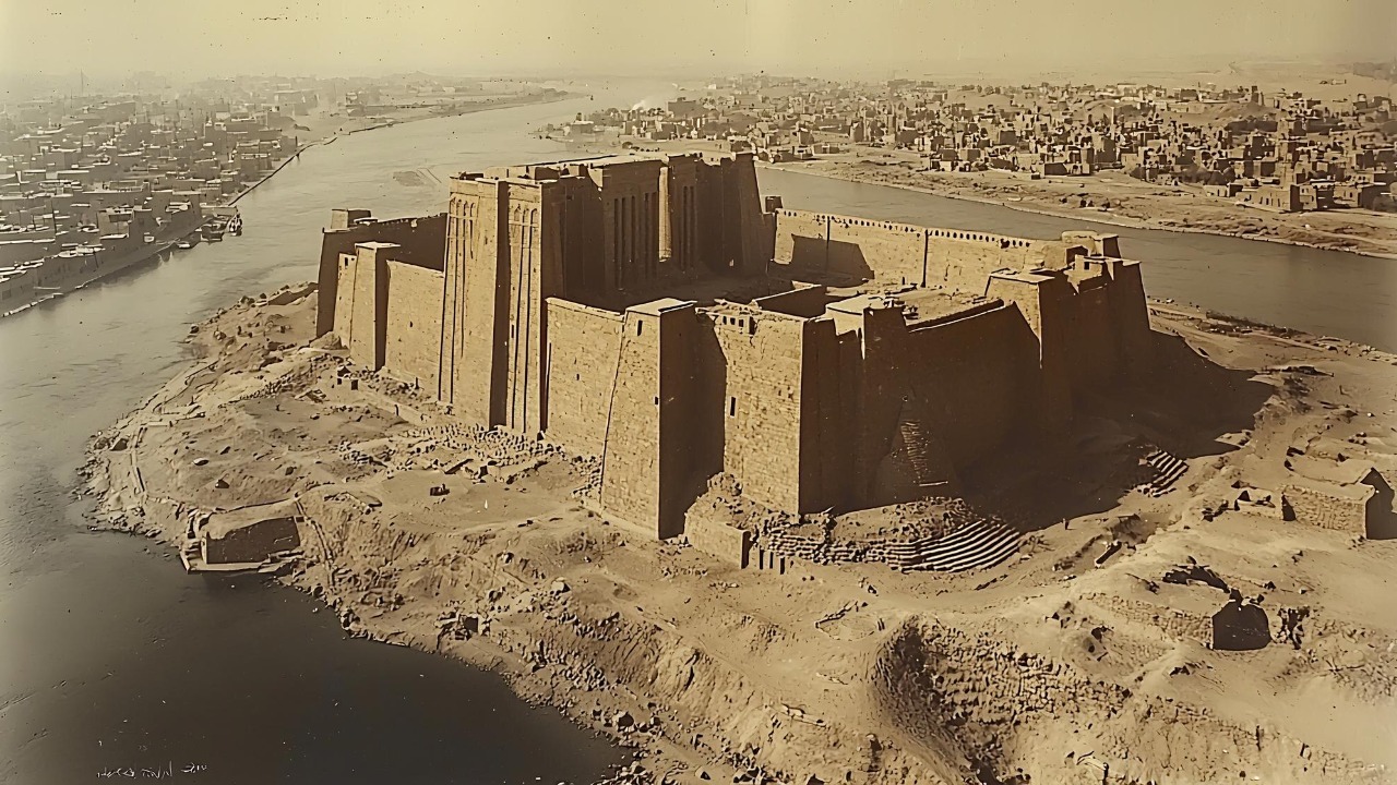
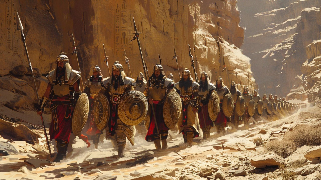
The Imago Mundi is an astonishing artifact believed to have been crafted around 600 BCE, closely linked to the Babylonian Empire. This clay tablet was unearthed in the ruins of Sippar, an ancient city in modern-day Iraq. It has since fascinated historians and archaeologists with its depiction of a world map, offering a glimpse into the minds of a civilization that thrived millennia ago. The map’s association with the Babylonian Empire underscores its significance as a representation of ancient knowledge and power.
The discovery of the Imago Mundi has been a pivotal moment in the field of archaeology. This map not only enhances our understanding of ancient cartography but also demonstrates the remarkable preservation of knowledge across time. Its survival through centuries of natural and human-induced challenges is a testament to the durability of clay tablets and the value our ancestors placed on recording their understanding of the world. The Imago Mundi allows researchers to trace the evolution of map-making, providing a benchmark against which other ancient maps can be compared.
When compared to other ancient cartographic artifacts, the Imago Mundi stands out due to its unique features. Unlike the Egyptian and Greek maps of a later period, this Babylonian map centers around Babylon, highlighting the city’s perceived importance. Its circular shape and symbolic elements set it apart, offering a distinct representation of the known world at the time. The map’s depiction of various regions and their relationships provides invaluable context for historians studying the development of geographical knowledge in ancient times.
Decoding the Imago Mundi
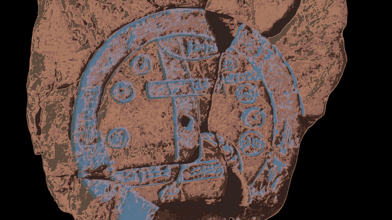
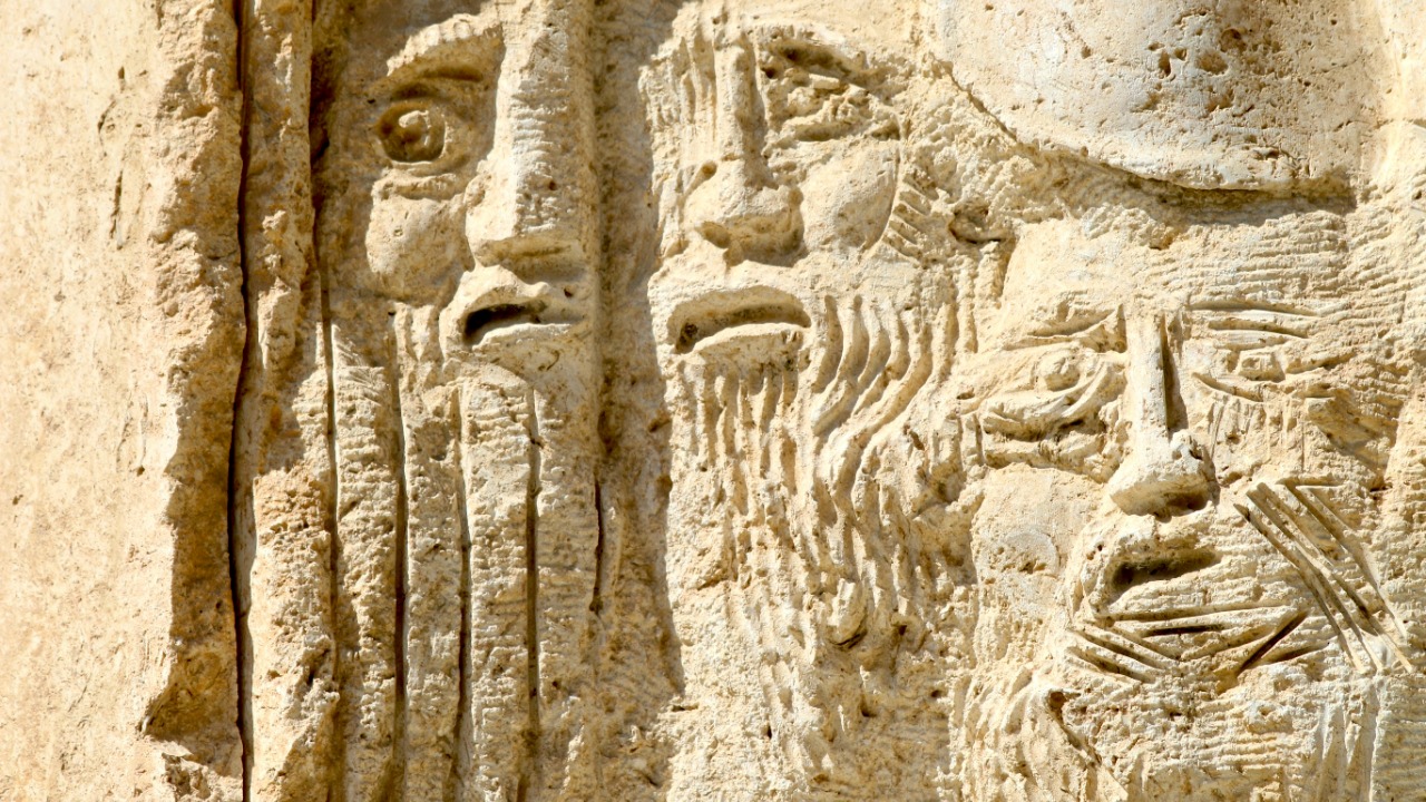
The symbols and figures depicted on the Imago Mundi offer a rich tapestry of meanings, revealing the beliefs and geographical understanding of its creators. Experts have identified various symbols representing cities, rivers, and mountains, as well as mythological figures that provide insight into the cultural and religious landscape of the time. The depiction of Babylon at the center, surrounded by a circular “bitter river” and other regions, suggests a worldview that placed the city at the heart of the universe.
To decode the Imago Mundi, researchers have employed modern techniques such as digital imaging and linguistic analysis. These technologies have allowed experts to uncover layers of information previously hidden from the naked eye. Digital imaging has enhanced the visibility of faint inscriptions, while linguistic analysis has provided context for interpreting the symbols and text on the map. This combination of techniques has proven invaluable in piecing together the map’s content and significance.
The insights gained from the Imago Mundi are profound, offering new revelations about ancient societies and their worldviews. The map has expanded our understanding of how the Babylonians perceived their environment and their place within it. The inclusion of regions and landmarks previously unknown or misunderstood challenges our prior assumptions about ancient geography. These insights compel historians to reevaluate the interactions and influences between different cultures and regions during this period.
Geographical and Mythological Insights
One of the most intriguing aspects of the Imago Mundi is its inclusion of regions beyond the Babylonian Empire. The map references places and landmarks that were previously unknown or inaccurately understood by modern scholars. These revelations shed light on the extent of Babylonian geographical knowledge and their understanding of the world. The map’s depiction of distant lands suggests a network of trade routes and cultural exchanges that extended far beyond Babylon’s immediate surroundings.
Mythological elements on the map, such as possible references to Noah’s Ark, offer a fascinating glimpse into the cultural and religious beliefs of the time. These depictions hint at a rich tapestry of myths and legends that shaped the worldview of the map’s creators. The presence of such elements highlights the interplay between mythology and geography in ancient societies, where legendary narratives were intertwined with the understanding of the natural world.
The implications of these insights for historical geography are significant. The potential identification of ancient locations and trade routes provides a more comprehensive picture of the interconnectedness of ancient civilizations. By integrating these findings with other historical evidence, researchers can reconstruct the geopolitical landscape of the time, offering a deeper understanding of the forces that shaped the ancient world.
Impact on Modern Historical Scholarship
The Imago Mundi has prompted historians and archaeologists to reevaluate certain aspects of ancient history and the influence of the Babylonian Empire. The map challenges existing narratives about the scope and reach of Babylonian influence, suggesting a more complex and interconnected ancient world. This has led to a reassessment of the relationships between different civilizations and the exchange of knowledge and ideas across regions.
As researchers integrate the findings from the Imago Mundi with other historical evidence, a more comprehensive understanding of the era emerges. The map provides a valuable piece of the puzzle, complementing existing records and artifacts from the period. By synthesizing these sources, historians can construct a richer narrative of the ancient world, revealing the complexities and nuances of past societies.
However, the interpretations of the Imago Mundi are not without challenges and controversies. Differing scholarly opinions and debates about the map’s accuracy and significance reflect the dynamic nature of historical scholarship. Some researchers question the interpretations of certain symbols or the extent to which the map accurately represents the world as known to the Babylonians. These debates underscore the importance of ongoing research and dialogue in the field of ancient history.
The Imago Mundi, as the world’s oldest map, continues to captivate and challenge modern historians. Its revelations extend beyond the Babylonian Empire, offering a window into a complex and interconnected ancient world. Through continued study and integration with other sources, this remarkable artifact will undoubtedly shape our understanding of history for years to come.