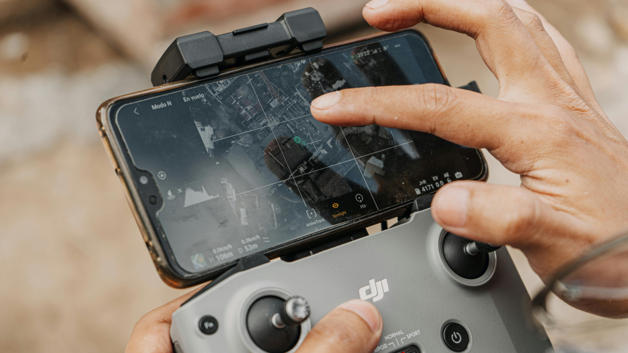
Drones are revolutionizing how we explore and understand our planet. With their advanced sensors, cameras, and GPS technology, drones are capable of capturing detailed data about the Earth in ways that were previously unthinkable. From agriculture to environmental conservation, here are 10 fascinating ways drones are mapping the Earth.
Agricultural Monitoring
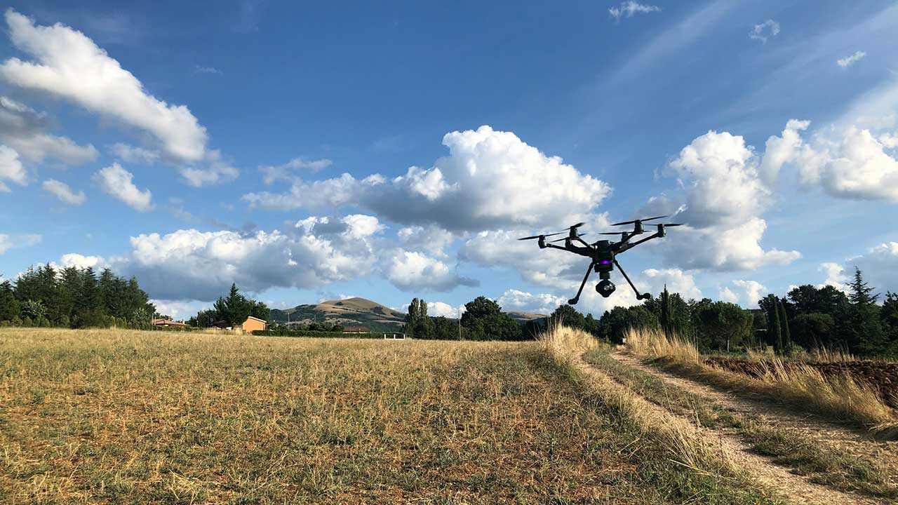
Drones are widely used in agriculture to map crop health and monitor field conditions. Equipped with multispectral cameras, they capture data that helps farmers assess soil health, track plant growth, and detect diseases. This allows for precise interventions and better yields, transforming the efficiency of modern farming (Source: CropLife).
Coastal Erosion Analysis
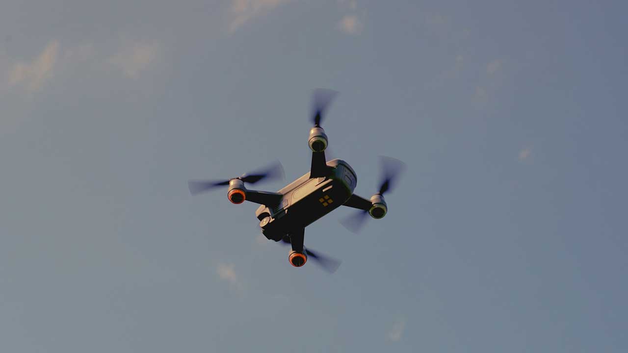
Drones are used to map coastlines, helping scientists track coastal erosion and the impact of rising sea levels. With high-resolution cameras and LiDAR technology, drones can capture detailed, real-time imagery of shoreline changes, aiding in conservation efforts and providing essential data for policy-making (Source: Blue Falcon Aerial).
Disaster Response and Recovery
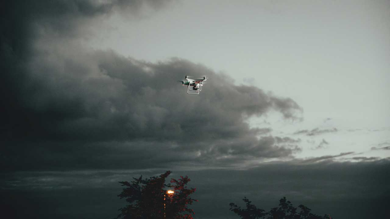
In disaster-stricken areas, drones provide fast, detailed aerial surveys that help assess damage and plan recovery efforts. By mapping affected regions, drones allow rescue teams to quickly identify safe paths, locate survivors, and plan the logistics of rebuilding, significantly reducing response times in critical situations (Source: Amprius).
Environmental Conservation
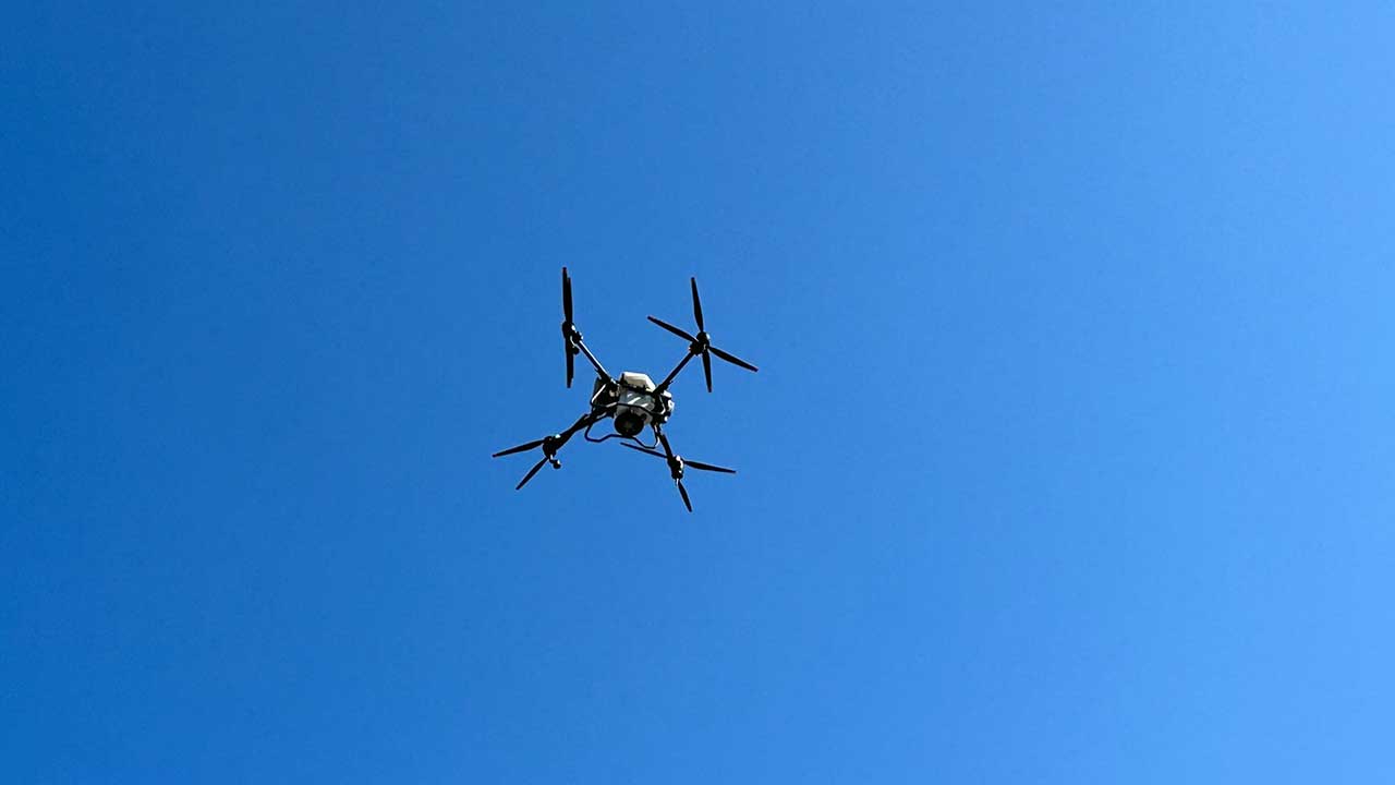
Drones are transforming the way environmentalists monitor ecosystems and wildlife habitats. By flying over forests, wetlands, and other protected areas, drones collect data on biodiversity, pollution levels, and vegetation health. This information helps conservationists make informed decisions about preserving natural habitats and mitigating environmental threats (Source: Fly & Tech).
Urban Planning and Development
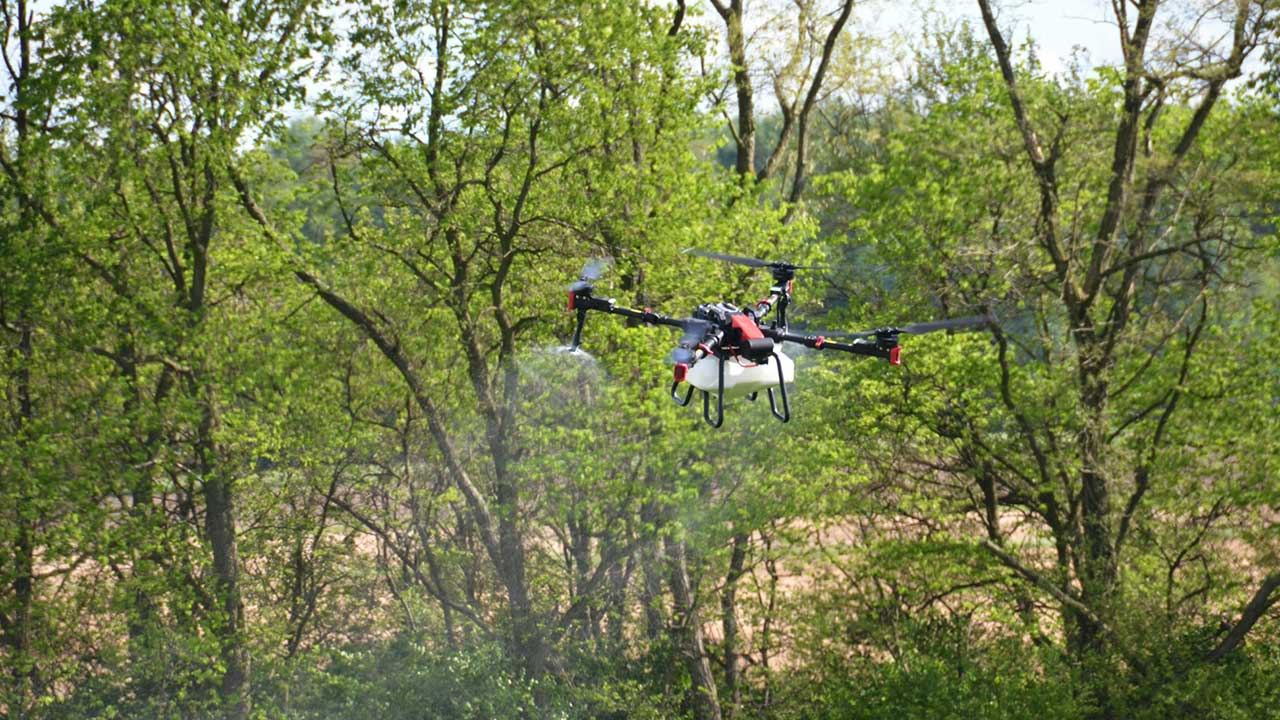
Drones are increasingly used in urban planning to create accurate 3D models of cities and infrastructure. With high-quality imaging and LiDAR, drones map out buildings, roads, and public spaces to aid architects and city planners in designing smarter, more sustainable urban environments. These maps are crucial for zoning and development projects (Source: DJI Enterprise).
Archaeological Exploration
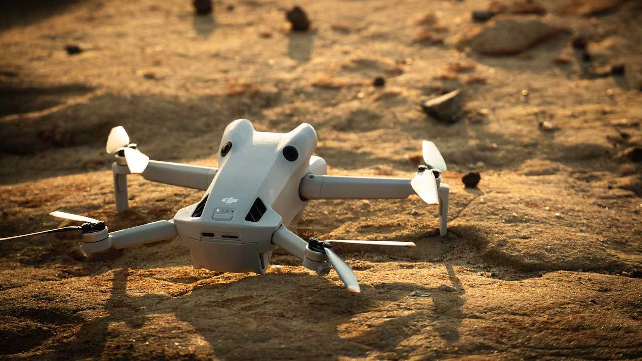
Drones are making a significant impact in archaeology by mapping ancient ruins and excavation sites. High-resolution cameras and LiDAR sensors enable archaeologists to uncover hidden structures, roads, and artifacts that may be buried beneath vegetation or soil, helping researchers understand historical civilizations with unprecedented clarity (Source: WIRED).
Forest Management
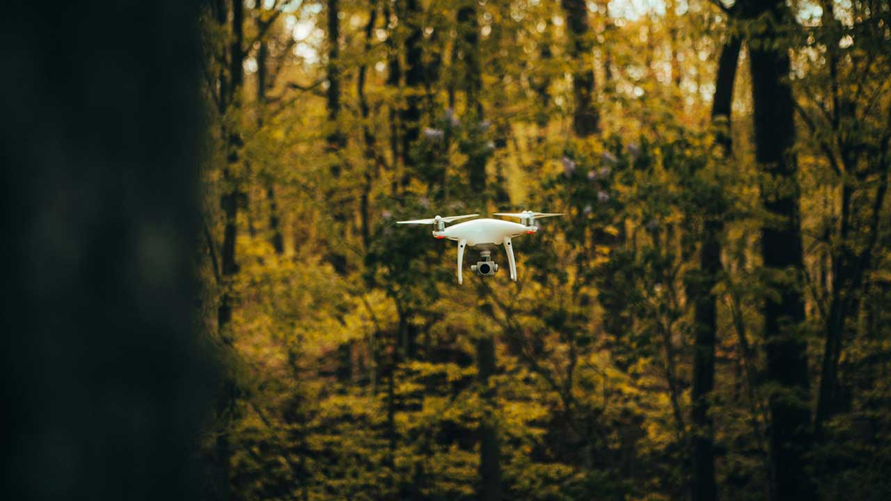
Drones are invaluable tools for forest management, as they allow foresters to map vast tracts of land efficiently. By capturing detailed aerial imagery, drones help track tree density, monitor forest health, and identify areas affected by diseases or pests. This data is crucial for sustainable forestry practices and conservation efforts (Source: ScienceDirect).
Mapping Glaciers and Ice Sheets
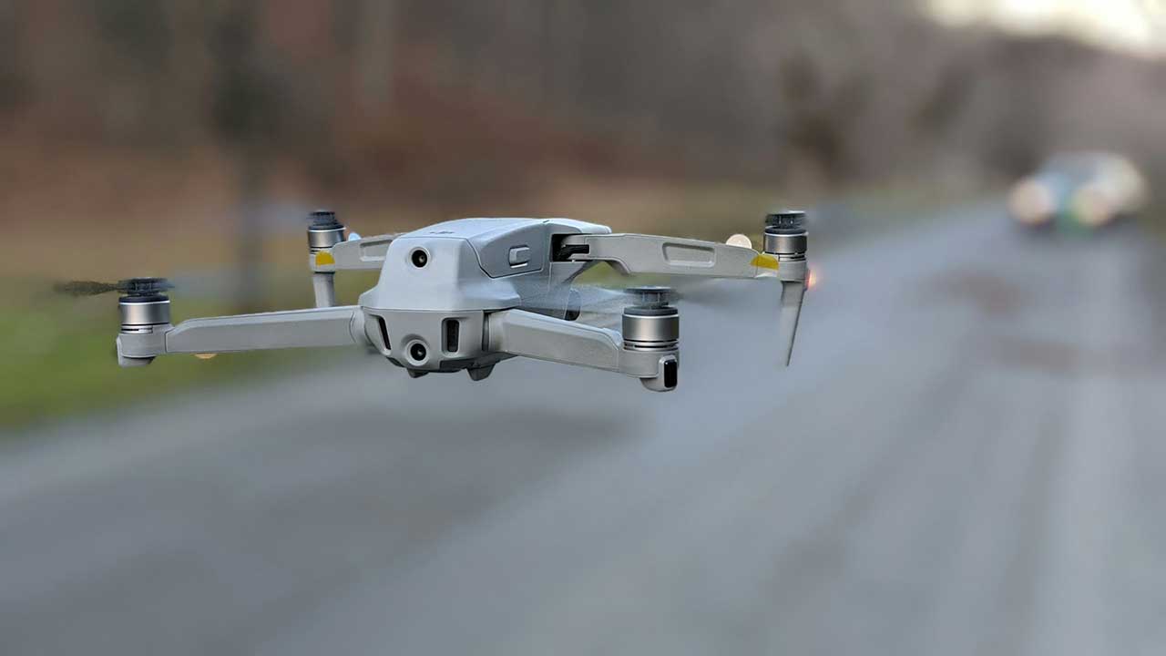
Drones equipped with thermal and LiDAR sensors are used to map glaciers and ice sheets in remote regions. These drones collect precise data on ice flow, thickness, and melting rates, contributing to climate change research by providing updated information on the rate at which glaciers are retreating and impacting global sea levels (Source: IEEE Spectrum).
Wildlife Tracking
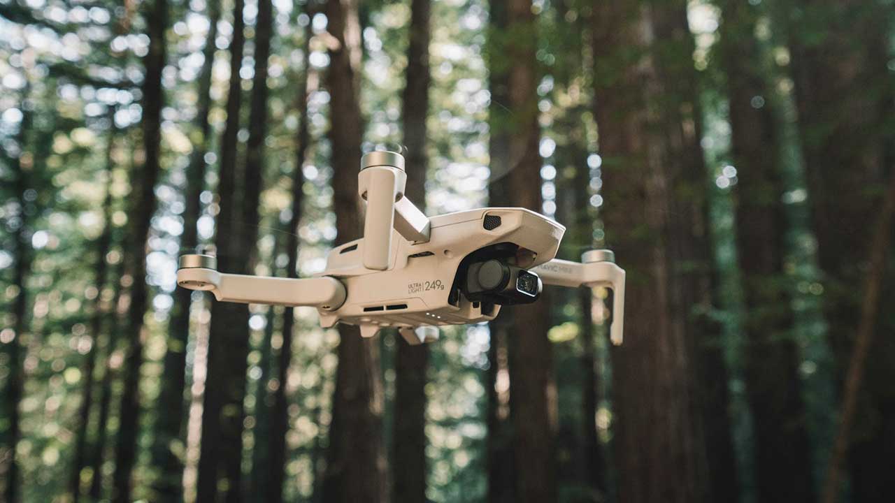
Drones equipped with thermal imaging and GPS sensors are used to map animal populations and track movements in the wild. This technology allows researchers to monitor endangered species without disturbing their habitats, providing vital data for conservation efforts and helping wildlife protection agencies make informed decisions (Source: Wildlife Drones).
Solar Panel Efficiency Monitoring
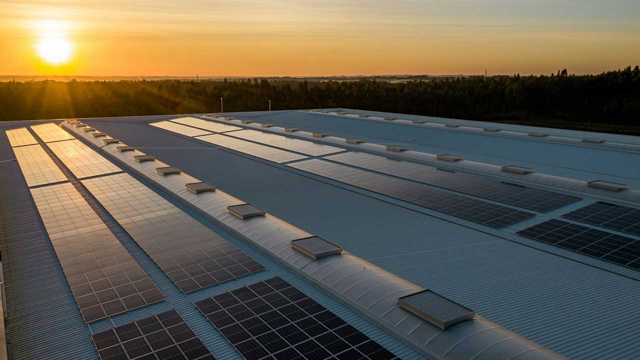
Drones are helping to map solar panel installations and monitor their efficiency. Equipped with infrared cameras, drones can detect temperature variations across solar panels, identifying malfunctions or inefficiencies that might go unnoticed. This is particularly useful for large-scale solar farms, ensuring better performance and energy production (Source: North American Clean Energy).